The UAV Program: Managed by Ryan Crawford, PMP
Skills developed:
Schedule control - Risk management - Scope control - Monitoring and Controlling - Project Execution - Full Project lifecycle - Stakeholder management - Leadership - Job estimation - Timeline management - Technology Project management
Upon receipt of the section 333 exemption from the FAA, and once veracity had been confirmed for the accuracy obtained through UAV technology, I was tasked by my company to begin finding ways to implement the technology into the existing workflows, and how we might offer new services.
This was a heavy undertaking, and thankfully I had already gotten plenty of experience learning to manage projects and teams through my work with our gas pipeline program. I focused primarily on using drone technology to augment and enhance the existing products first so as to provide value immediately with a known product, and to have enough work on hand to begin training the new pilots working under me.
While I was in this role, I became the point of contact for the company when it came to any drone technology or questions in what we could do with it. I was at one point chosen to be the liaison for my company to a major geospatial conference to speak with industry leaders and officials from the FAA in how drone technology was being utilized, and the future of the industry. Managing this program provided me significant experience handling every step of the project and program lifecycle, from initiating to closing.
I designed and managed the training plan for all incoming pilots to the company, as well as the monitoring and control processes to maintain our fleet. I also wrote the training and standard operating procedures for how the drone data was to be ingested, processed, and used for mapping applications.
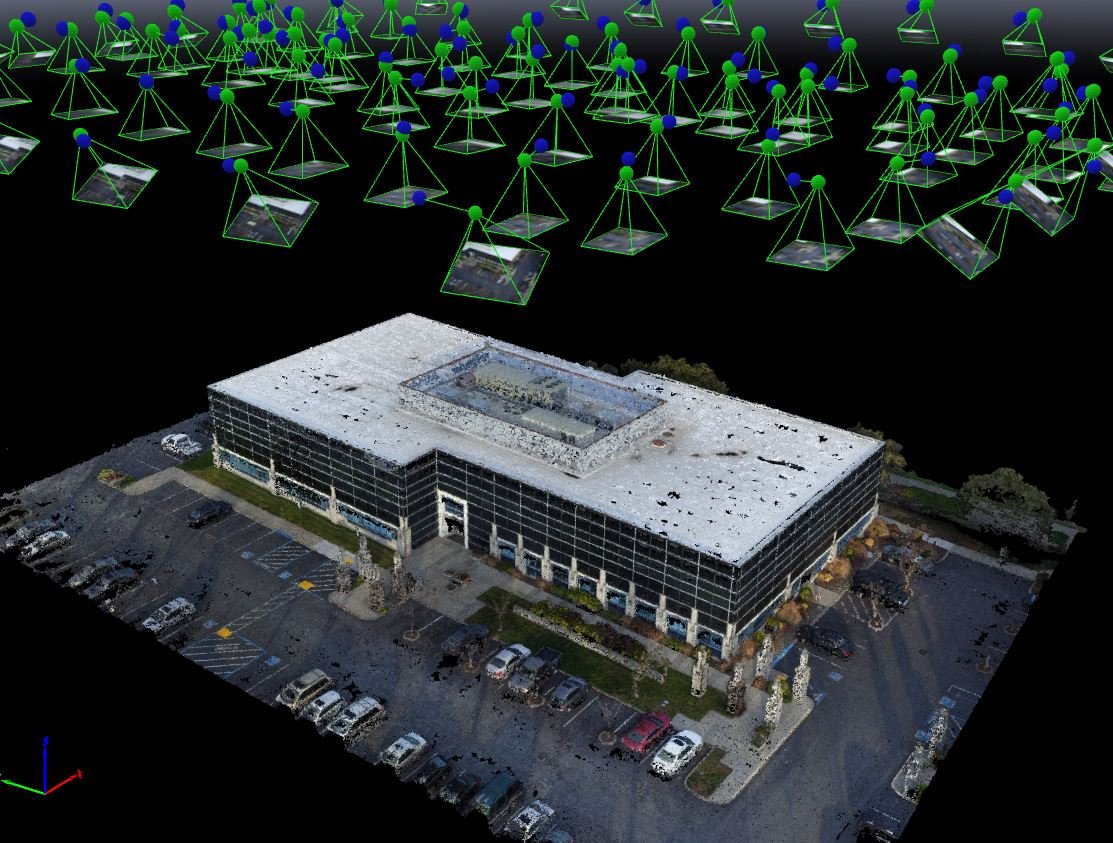
Mapping applications made up the breadth of work we utilized drone technology for. Using a process called Dense Image Matching, to-scale 3D models could be created from the photographs taken from the drones camera. These models could then be used to pull measurement data from.
One of the deliverables I developed with the intent of using drone technology to perform inspection of hazardous and difficult to reach infrastructure. A drone mission could quickly map the area and then operators would manually fly to get high definition imagery so that the inspectors could determine whether it was necessary to shut down and scale a cell tower or wind turbine.
Using my hobbyist knowledge and love of photography, we also looked at utilizing drone technlogy as a means of generating promotional materials. This is a frame taken from a video showing the installation of pipeline.


